The Divemaster Mapping Project: Why You’ll Draw a Dive Site by Hand
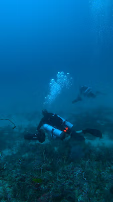
Picture yourself hanging in the blue over Arco Point, perfectly still, a slate in one hand and a pencil in the other. The reef drops away below you into a slope you’re trying to capture line by line: the sandy patch here, the swim-through there, the little cleaning station where the turtles line up to be tidied.
It looks a bit like homework. It’s actually one of the best days of your Divemaster course.
Somewhere in your PADI Divemaster training, you’ll be handed a deceptively simple task: survey a dive site and draw a map of it. By hand. Not download one, not trace someone else’s, not screenshot it off an app. Your own map, built from your own eyes and your own time in the water.
Plenty of candidates raise an eyebrow at this. In an age of GPS pins and downloadable dive guides, why sit there sketching contour lines with a grease pencil? Here’s why it’s one of the most quietly valuable things you’ll do.
What the mapping project actually is
The mapping project is one of the practical parts of the Divemaster course. You choose a site, study it over one or more dives, and produce a clear, usable map another diver could actually plan a dive from.
That means it needs real information on it. Depth contours and the deepest point. Entry and exit options. Compass headings between key features. Distances, scale, and a north arrow. Hazards worth flagging, points of interest worth finding, and the surface stuff too, like the boat mooring or the shoreline. A good map tells a story: where you start, where the good bits are, and how you get everyone home with air to spare.
Why by hand, in the age of GPS?
Because the map isn’t really the point. The looking is.
When you know you have to draw a site, you stop cruising over it like a tourist and start reading it like a leader. You notice that the current always pushes a little harder past that corner. You clock the exact spot the wall turns from coral to sand. You realise the swim-through is only comfortable at higher tide. None of that lands the same way when you’re just following a guide.
A phone can hand you a picture of a reef. It can’t hand you an understanding of it. The mapping project forces the understanding, and that’s the skill you’re really building.
How you’ll actually do it in Bohol
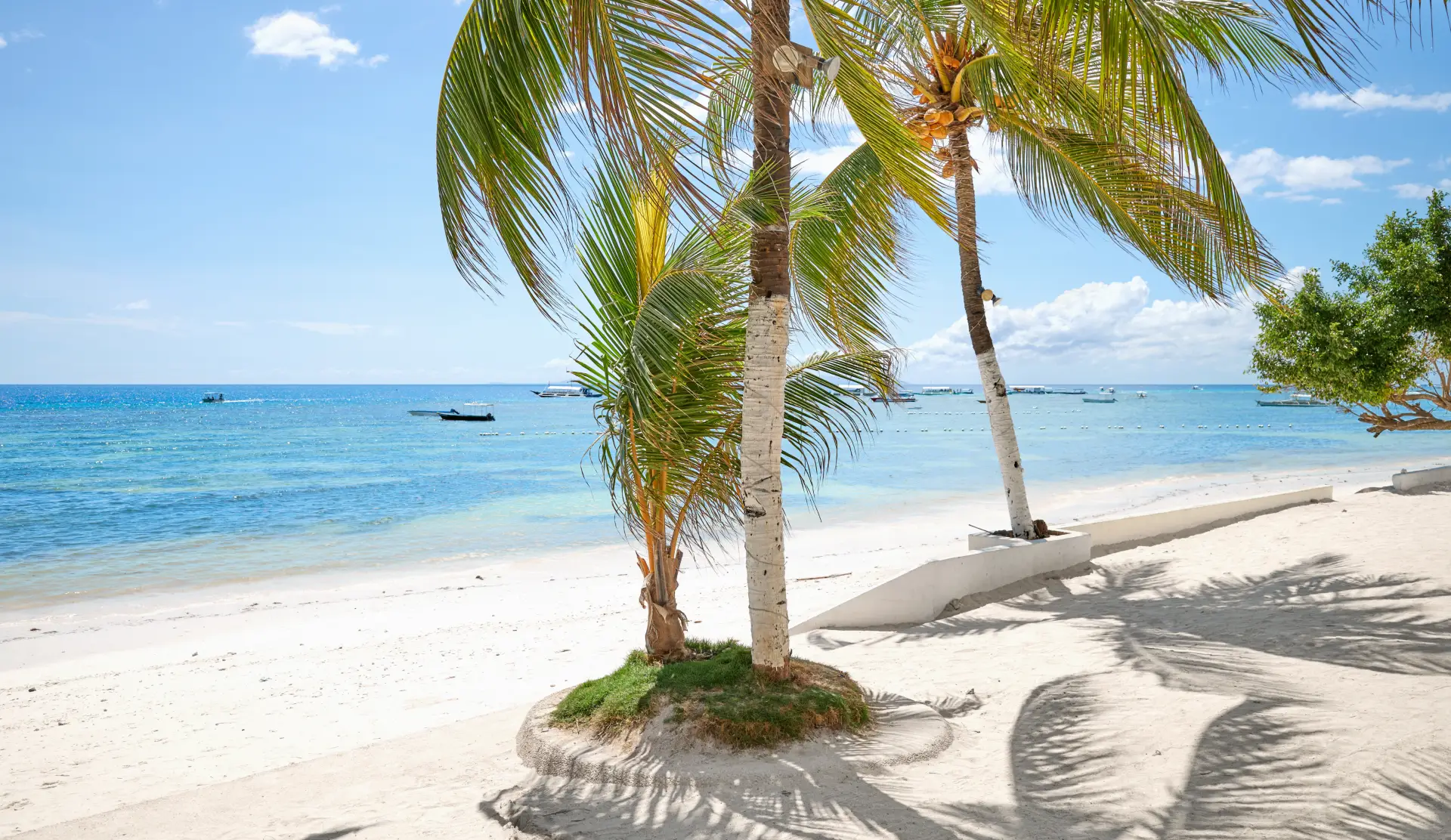
We’re spoiled for study sites here. The Alona house reef is a natural first map, right on our doorstep and gentle enough that you can hover and sketch without fighting anything. When you want more character, sites like Arco Point, with its shallow cavern and steep wall, or Doljo Point give you real features to capture.
The workflow looks something like this. You’ll swim the site with a compass, taking bearings between landmarks. You’ll count kick cycles to estimate distances and log depths as you go. You’ll scribble a rough field sketch underwater, messy and full of arrows, then turn it into a clean final version on the surface while it’s fresh.
It’s also where your navigation really sharpens up. If your compass work and distance estimation still feel shaky from your Advanced Open Water days, mapping is the project that finally makes them click. And you’ll quickly learn why we bang on about buoyancy so much, because holding a steady hover while you write is a lot easier once your buoyancy is dialled in.
The moment you start thinking like a guide
Here’s where it all pays off. Everything the mapping project teaches you feeds straight into the job of leading dives.
That briefing you’ll one day give to a boat full of divers? It comes from exactly the mental map the project builds. Knowing where the current runs, where the depth maxes out, where the turtles hang and where the exit is, that’s the difference between a vague “we’ll head that way” and a briefing people actually trust. If you’ve ever wondered what separates a confident dive leader’s briefing from a nervous one, a lot of it is site knowledge, and we’ve broken that down in Dive Briefings Decoded.
It’s also a safety skill. A divemaster who truly knows a site can plan around hazards, keep a group together, and make good calls when conditions shift. Mapping is one of the first times the course stops asking “can you dive this?” and starts asking “can you run this?”
That shift is the whole reason people love training here, and it’s a big part of what makes a Divemaster course in Bohol special.
Ready to draw your first dive site?
The mapping project is the kind of thing you don’t expect to enjoy and then can’t stop talking about afterward. It’s creative, it’s practical, and it’s the moment a lot of candidates feel themselves become dive professionals rather than just divers.
If you’re ready to trade the desk for a dive slate, come talk to us about starting your Divemaster training in Bohol. We’ll even help you pick your first site to map.